Water use data and maps
Use the tools below to search for high capacity wells and surface water withdrawal sources. You can also see the amount of water withdrawn by month and year.
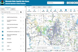
Water quantity data viewer
View the locations and volumes of high capacity well and surface water withdrawals on an interactive map. View pending high capacity well applications and approved wells. View water quantity data measurement locations.
Long-term water level monitoring can assist with issues like groundwater flooding. Learn more about water levels and groundwater flooding.
NOTE: Not all applications or approval documents may be available for download. For advanced data requests including specific locations, shapefiles, etc. (not available in map view or query tool), please email the Water Use Program.
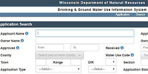
Application search
Search for pending or past high capacity well and surface water withdrawal applications. View approval request letters and approval letters.
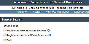
High capacity well or surface water withdrawal search
Search for high capacity wells or surface water withdrawal sources. Summary statistics are also available, such as water use by county and type, 2012 to present.
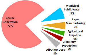
Annual water reports
Every year, water use staff analyze and summarize water use data.


