Upper Fox and Wolf Rivers TMDL
A framework for water quality improvement

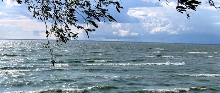
The Upper Fox River and Wolf River Basins. © Winnebago Waterways
The Upper Fox and Wolf River Basins (UFW) are two separate basins that converge within a series of pool lakes in Winnebago County before finally flowing collectively into Lake Winnebago. All the surface water drainage to Lake Winnebago is contained within these two basins. Lake Winnebago outlets into the Lower Fox River Basin, where it eventually flows into Green Bay.
The DNR, together with many partners throughout the basins, are working to improve water quality within the Upper Fox and Wolf Rivers, which includes many lakes and tributaries. The Total Maximum Daily Load (TMDL) study and implementation plan will provide a strategic framework and prioritize resources for water quality improvement in the UFW.
The UFW TMDL study area spans Wisconsin's east-central corridor from the headwaters in Forest County and the city of Portage to Lake Winnebago, covering 5,900 square miles, approximately 10 percent of the state.

Monitoring and Evaluation
- Upper Fox and Wolf Long Term Trend Water Quality (Lakes & Rivers)
- Upper Fox and Wolf Basin Monitoring
- 2023 Upper Fox and Wolf River Basins Volunteer Monitoring Report
- 2023 Upper Fox and Wolf River Basins Volunteer Monitoring Summary
- Interactive UFW Water Quality Spreadsheet [xlsx]
- Upper Fox and Wolf River Basins Volunteer Monitoring Fact Sheet
- Upper and Wolf River Basins Volunteer Monitoring Program
Approval by EPA
On February 27, 2020, the U.S. EPA approved the Upper Fox and Wolf TMDL Report.
- Appendices
-
- Appendix A - TMDL Subbasin Land Use and Maps
- Appendix B - Impairments Requiring Additional Evaluation [PDF]
- Appendix C - SWAT Model Setup, Calibration, and Validation for the Upper Fox-Wolf Basins TMDL [PDF]
- Appendix D - WiLMS Lake Model Setup and Results for the Upper Fox-Wolf Basins TMDL [PDF]
- Appendix E - USGS Report: Water-Quality Response to Changes in Phosphorus Loading of the Winnebago Pool Lakes, Wisconsin, with Special Emphasis on the Effects of Internal Loading in a Chain of Shallow Lakes [PDF]
- Appendix F - Report of Lake Winnebago Paleoecological Study [PDF]
- Appendix G - Baseline Load Tables [PDF]
- Appendix H - Total Phosphorus Allocation Tables [PDF]
- Appendix I - Sediment Allocation Tables [PDF]
- Appendix J - Agricultural Phosphorus and Sediment Targets [PDF]
- Appendix K - Trading and Adaptive Management Information [PDF]
- Appendix L - Response to Preliminary Comments [PDF]
- Appendix M - Public Informational Hearing Comments [PDF]
- Appendix N - Response to Public Informational Hearing Comments [PDF]
- Appendix O - Copy of Agricultural Surveys [PDF]
TMDL Update for Newly Listed Waters (2022)
Map and spatial data viewer
Technical reports
- Watershed Modeling (CADMUS SWAT Report) [PDF] - April 26, 2018
- Lake Modeling (CADMUS WiLMS Report) [PDF] - April 6, 2018
- Lake Winnebago Cores (Onterra Paleoecological Study) [PDF] - May 2018
- Winnebago Pool Modeling Study (USGS) [PDF] - August 2018
