Contact: DNR Office of Communications
DNRPress@wisconsin.gov
DNR Releases New StoryMap Showcasing Wisconsin's Water Use
 The sustainable use of Wisconsin’s water resources is critical for our health, environment and economy.
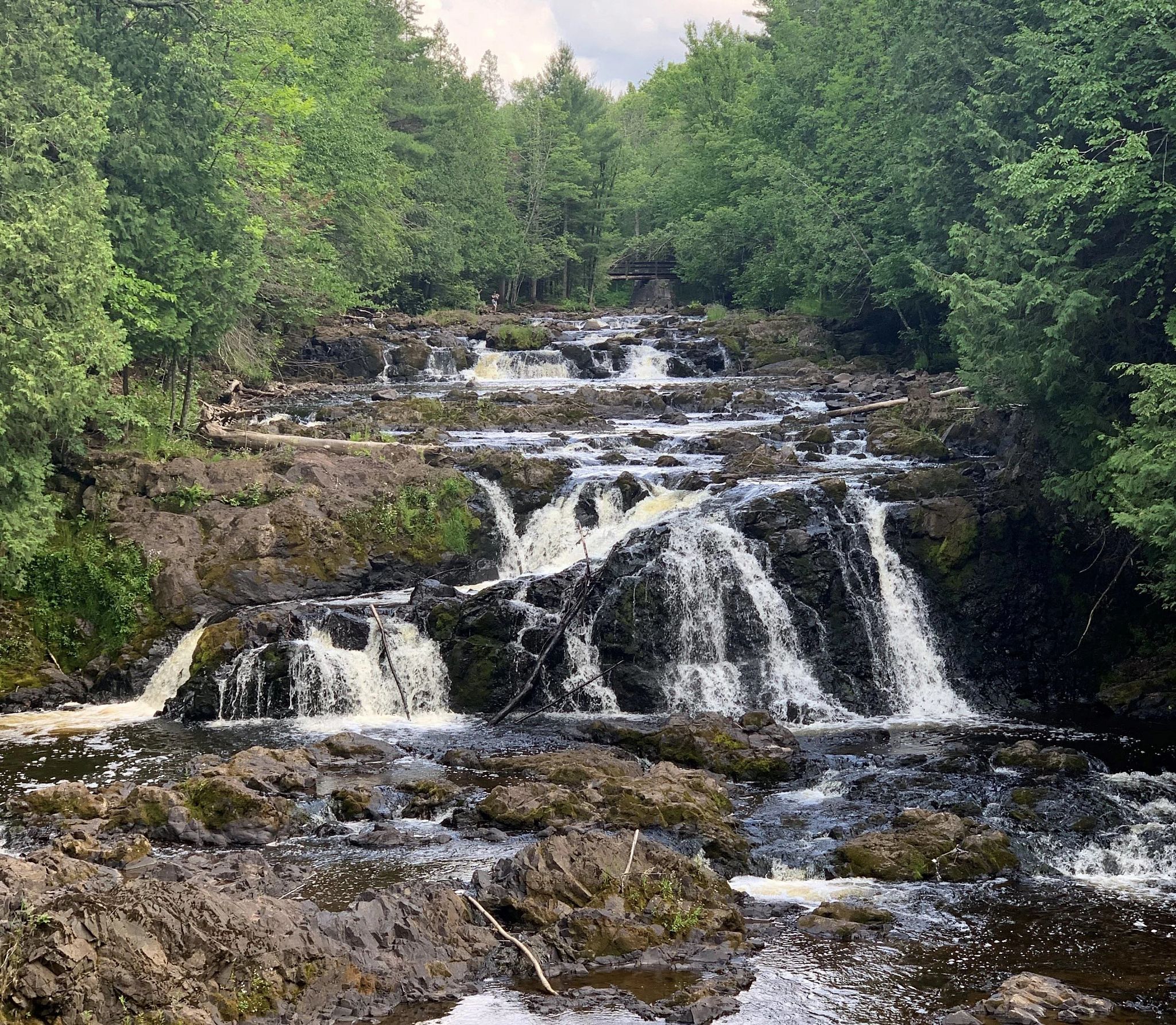
Photo credit: Wisconsin DNR
MADISON, Wis. – The Wisconsin Department of Natural Resources (DNR) today announced the release of a new water use StoryMap, showcasing water use in Wisconsin over the past decade, and the 2021 Water Withdrawals Report.
Since the onset of the Great Lakes Compact, Wisconsin has required water users to register and annually report on any surface water or groundwater withdrawals with pumping capacity of 100,000 gallons per day.
The StoryMap and report feature the compilation of data reported to the DNR.
“Analyzing the data we collected over the past ten years helps us identify trends in water use so we can better balance economic viability with the sustainability of our aquifers and the water resources that depend on them into the future,” said Steve Elmore, DNR Drinking Water and Groundwater Program Director.
By collecting monthly water withdrawals, the DNR can look at trends in water use, which often relate to monthly temperatures, the growing season and precipitation patterns. For example, water withdrawals often peak in the summer when energy usage is highest, and farmers need to supplement rainfall to grow crops.
Over the past decade, Wisconsin cities, agricultural operations, businesses and industries withdrew on average 1.9 trillion gallons, equivalent to 1.6 inches of water covering the surface of Wisconsin. The biggest withdrawers use water for power production and municipal water supply, withdrawing 84% of the total water in 2021.
Learn more about water withdrawal through the 2021 Water Withdrawals Report and Wisconsin’s Decade Of Water Withdrawals StoryMap.

