Wisconsin River TMDL
A framework for water quality improvement

- Subscribe to receive email updates about the Wisconsin River TMDL.
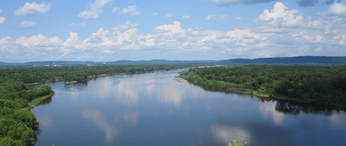
The DNR, together with many partners throughout the basin, are working to improve water quality of the Wisconsin River, its reservoirs and tributaries. The Total Maximum Daily Load (TMDL) study provides a strategic framework and prioritize resources for water quality improvement in the Wisconsin River Basin. The Wisconsin River TMDL study area spans Wisconsin's central corridor from the headwaters in Vilas County to Lake Wisconsin in Columbia County, covering 9,156 square miles (approximately 15 percent of the state). The U.S. EPA approved the Wisconsin River TMDL on April 26, 2019.
On July 9, 2020 the U.S. EPA approved site-specific phosphorus criteria for Petenwell Lake, Castle Rock Lake and Lake Wisconsin. The science behind the site-specific criteria are presented in Appendix C of the TMDL. When the EPA approved the Wisconsin River Basin TMDL in 2019, they approved allocations based both on the statewide phosphorus criteria applicable at the time and these newly approved site-specific criteria. With the approval of the site-specific criteria, the allocations presented in Appendix K of the TMDL will now be used for future wastewater permitting decisions and as the basis for locally led nonpoint reduction plans.
Report downloads
- Final Approved Report
- GIS Data
- GIS Data including CAFOs, MS4s, Wastewater Outfalls and Subbasins [ZIP]
- Appendices
- Appendix A – Tributary Information and Charts [PDF]
- Appendix B – Lakes Requiring Additional Evaluation [PDF]
- Appendix C – Site-Specific Criteria Analysis [PDF]
- Appendix D – Watershed Modeling Documentation [PDF]
- Appendix E – Sediment Monitoring [PDF]
- Appendix F – Baseline Load [PDF]
- Appendix G – MS4 Detail Maps [PDF]
- Appendix H – Total Phosphorus Loading Capacity of Petenwell and Castle Rock Flowages [PDF]
- Appendix I – BATHTUB and Empirical Lake Models [PDF]
- Appendix J – Allocations [PDF]
- Appendix K – Proposed Site-Specific Criteria Allocations [PDF]
- Appendix L – Watershed Implementation Activities [PDF]
- Appendix M – CE-QUAL-W2 Reservoir Model [PDF]
- Appendix N – Agricultural Targets [PDF]
- Appendix O – Trading and Adaptive Management Information [PDF] (Updated December 2023)
- Appendix P – Response To Preliminary Comments (February 21 to April 23, 2018 comment period) [PDF]
- Appendix Q – Public Hearing Comments (August 20 through September 19, 2018 comment period) [PDF]
- Appendix R – Response to Public Hearing Comments (August 20 through September 19, 2018 comment period) [PDF]
- 2022 TMDL Update
Overview of the project

