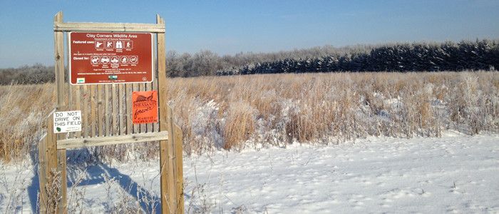
Clay Corners Wildlife Area

Clay Corners Wildlife Area is a 151-acre property located in northcentral Pierce County. The property was donated to the DNR in two parcels from the Kinnickinnic Chapter of Pheasants Forever in 1994 and 2001 to be managed as a state wildlife area. The property consists of restored grasslands and central hardwoods habitat.
The property is located 8 miles east of River Falls. Follow Highway 29 east out of River Falls and turn south on 690th Street for 2 miles, then head west on 770th Avenue for 1 mile. The property is located on the north side of 770th Avenue, where a parking lot allows for easy access to the property.
Management Objectives
The property is managed to provide opportunities for public hunting, trapping, wildlife observation and other nature-based outdoor recreation. Management objectives aim to maintain an open grassland community through prescribed fire, mechanical and chemical control of woody species and limited haying and grazing. The forested portions of the property are managed to perpetuate central hardwoods cover type to provide forested habitat for wildlife. Populations of invasive species are controlled or eliminated by cutting, pulling, burning, herbicide treatment and/or bio-control.
For more information on master planning for this and other wildlife areas around the state, visit the property planning page.
Recreation
-
The Clay Corners Wildlife Area offers many recreational opportunities:
- Birding;
- Cross-country skiing (no designated trail);
- Falconry (by permit);
- Hiking;
- Hunting (especially noted for pheasant and deer);
- Snowshoeing;
- Trapping;
- Wild edible/gathering; and
- Wildlife viewing.
Maps
Download [PDF] a map of this property.
If you are interested in exploring this property further, you can access an interactive map.
Find out more about how to adopt this wildlife area.

